- Culturally interesting
- Refreshment stop
Westfälische Salzroute
Salt production and the salt trade have left behind a wealth of cultural and industrial history in the Hellweg region.
Tour starting point:
Unna-Königsborn (Kurpark)
Tour destination point:
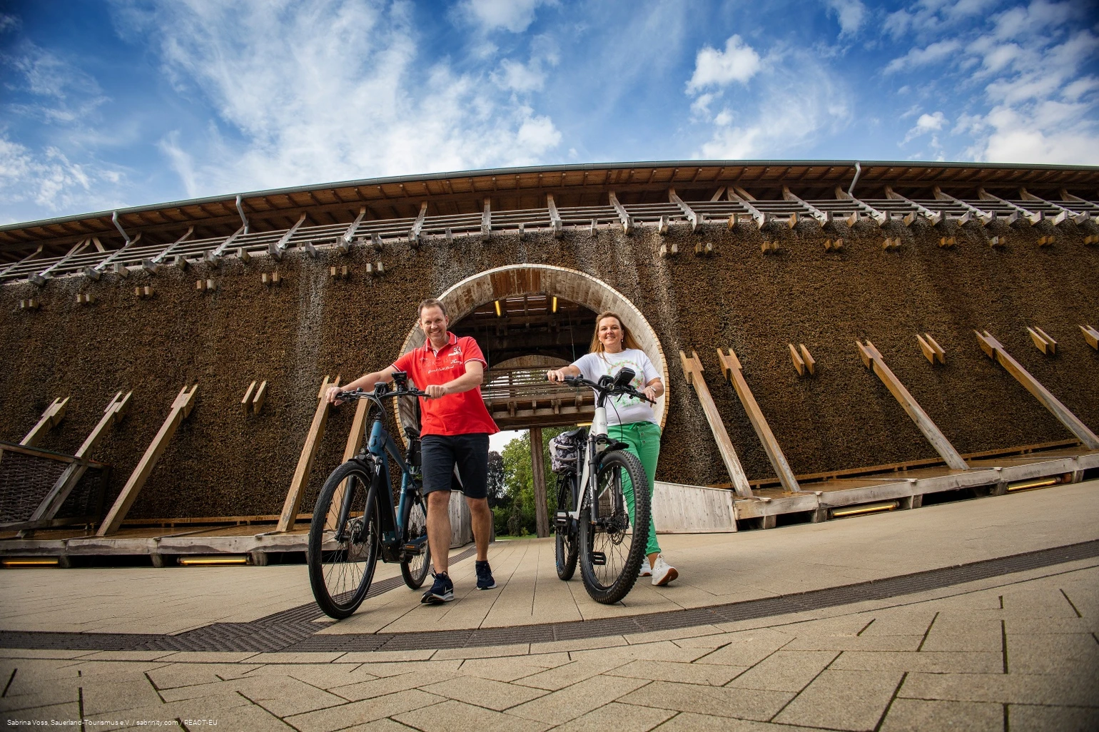
Salzkotten (Gradierwerk/Kütfelsen)
Properties:
Additional Information
Further information can be found at www.westfaelische-salzroute.de
Category
RadfahrenLength
88 kmDuration
6:00 hElevation ascent
168 mElevation descent
131 mLowest point
67 mHighest point
124 mCondition
Difficulty
From the spa gardens in Unna-Königsborn to the "Kütfelsen" in Salzkotten, there is plenty to see along the Hellweg when it comes to salt. The Westfälische Salzroute follows in the footsteps of the salt history of these places and leads cyclists, hikers and those passing through to many new tourist attractions, such as the Westfälische Salzwelten adventure museum in Bad Sassendorf.
Embark on a journey of discovery and enjoy the varied landscape and hospitality in the heart of Westfalen! The three spas Bad Sassendorf, Bad Waldliesborn and Bad Westernkotten also offer brine health treatments in their thermal baths (see Hellweg Radio Spa Route).
With its few inclines, the Westfälische Salzroute is an easy route that mainly leads along asphalted farm tracks away from the main traffic routes or along cycle paths next to the roads. Along the way, numerous restaurants invite you to stop and linger.
The landscape of the Hellweg-Börde is characterized by wide open fields, rows of trees along the paths and small agricultural villages. The Hellweg is the name of the old trade route between Duisburg and Paderborn on the road from Aachen to Goslar, which also passes through Dortmund, Soest, Bad Sassendorf and Salzkotten. Goods traded on the road included salt from the Soest, Werl and Unna regions and iron goods such as knives and scissors from the Sauerland. Goods from the Hellweg were distributed throughout the Hanseatic region.
Information
Directions
Places along the route:Unna - Stockum - Hemmerde - Holtum - Büderich - Werl - Westönnen - Mawicke - Ostönnen - Enkesen - Paradiese - Soest - Bad Sassendorf - Lohne - Schallern - Schmerlecke - Völlinghausen - Erwitte - Bad Westerkotten - Bökenförde - Langeneicke - Störmede - Geseke - Salzkotten.The route runs entirely along the NRW cycle network. In addition, the route can be used in the district of Unna and on the Südwestfalen cycle network of the district of Soest via the junction system:31 - 32 - 33 - 57 - 58 - 86 - 59 - 89 - 88 - 50 - 47 - 93 - 40 - 84 - 33 - 31 - 32 - 20 - 24 - 27 - 26 - Salzkotten
Equipment
Information on the perfect preparation for short and long bike tours can be found at the ADFC:
Safety guidelines
A rescue point system has been installed throughout the region (Soest district, Hochsauerlandkreis, Märkischer Kreis, Olpe district and Siegen-Wittgenstein district). Rescue points can be found on the information boards at the junctions of the Südwestfalen cycle network, among other places
Author Tip
The "Bäderschleife" of the Westfälische Salzroute, which follows the salt history along the Hellweg for 88 kilometers, is also the Hellweg Radio Bäder-Route.
Maps
BVA ADFC regional map Sauerland (with junction system) 1:75,000: € 8.95
BVA regional map of the district of Soest (with junction system) 1:50:0000: € 7.95
